The old course of the River Irwell
Introduction
The photograph on this page of The old course of the River Irwell by Christine Johnstone as part of the Geograph project.
The Geograph project started in 2005 with the aim of publishing, organising and preserving representative images for every square kilometre of Great Britain, Ireland and the Isle of Man.

There are currently over 7.5m images from over 14,400 individuals and you can help contribute to the project by visiting https://www.geograph.org.uk
The old course of the River Irwell
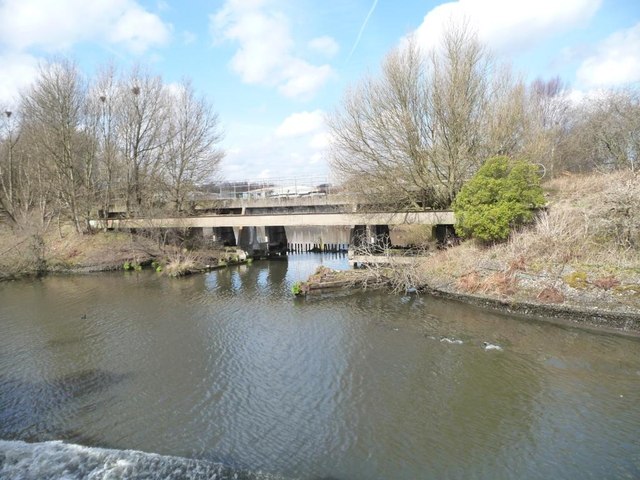
Image: © Christine Johnstone Taken: 13 Apr 2013
Leaving the Manchester Ship Canal at the north end of Irlam.
Images are licensed for reuse under creativecommons.org/licenses/by-sa/2.0
Image Location
Latitude
53.459012
Longitude
-2.396206