Track at Downstow Cross
Introduction
The photograph on this page of Track at Downstow Cross by Guy Wareham as part of the Geograph project.
The Geograph project started in 2005 with the aim of publishing, organising and preserving representative images for every square kilometre of Great Britain, Ireland and the Isle of Man.

There are currently over 7.5m images from over 14,400 individuals and you can help contribute to the project by visiting https://www.geograph.org.uk
Track at Downstow Cross
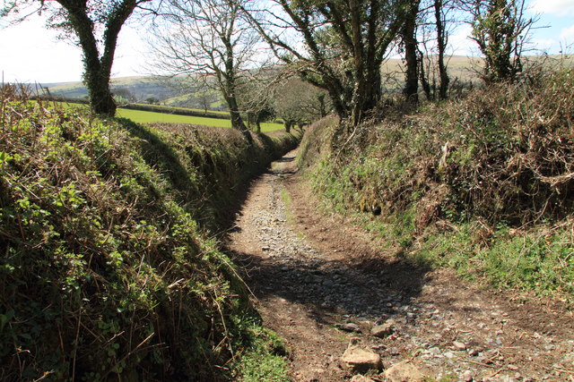
Image: © Guy Wareham Taken: 19 Apr 2013
The track leads to Didworthy and is marked on the map as being a route with public access.
Images are licensed for reuse under creativecommons.org/licenses/by-sa/2.0
Image Location
Latitude
50.44789
Longitude
-3.844343