The Brooklands gospel centre, Dundonald (1)
Introduction
The photograph on this page of The Brooklands gospel centre, Dundonald (1) by Albert Bridge as part of the Geograph project.
The Geograph project started in 2005 with the aim of publishing, organising and preserving representative images for every square kilometre of Great Britain, Ireland and the Isle of Man.

There are currently over 7.5m images from over 14,400 individuals and you can help contribute to the project by visiting https://www.geograph.org.uk
The Brooklands gospel centre, Dundonald (1)
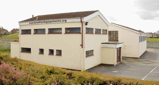
Image: © Albert Bridge Taken: 18 Apr 2013
A gospel centre, at Brooklands Crescent, which replaced a traditional wooden hut. The assembly was established, by the brethren in Dundonald gospel hall Image, to accommodate those who lived in the then-new Brooklands estate. The building opened (to the best of my knowledge) in 1972. This is the northern side. Image shows the western side.
Images are licensed for reuse under creativecommons.org/licenses/by-sa/2.0
Image Location
Latitude
54.594642
Longitude
-5.788778