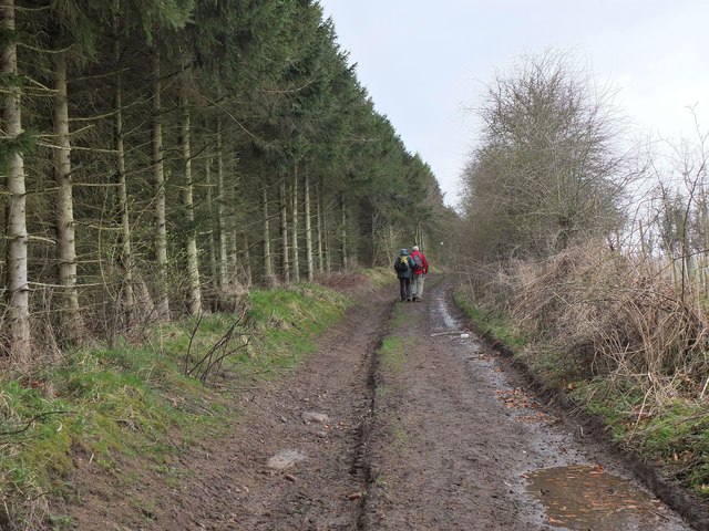
Former railway line, Kelso
Introduction
The photograph on this page of Former railway line, Kelso by Jim Barton as part of the Geograph project.
The Geograph project started in 2005 with the aim of publishing, organising and preserving representative images for every square kilometre of Great Britain, Ireland and the Isle of Man.
There are currently over 7.5m images from over 14,400 individuals and you can help contribute to the project by visiting https://www.geograph.org.uk

Image: © Jim Barton Taken: 18 Apr 2013
This was on the route of the St Boswells to Tweedmouth line with Kelso station at Maxwellheugh. Passenger services ceased in 1964 and the line closed in 1968. More details about the railway are available on the Kelso website at http://www.kelso.bordernet.co.uk/history/railway-station.html The line is now a path to the Roxburgh Viaduct over the River Teviot.

