The Rolls-Royce site, Dundonald (2013-1)
Introduction
The photograph on this page of The Rolls-Royce site, Dundonald (2013-1) by Albert Bridge as part of the Geograph project.
The Geograph project started in 2005 with the aim of publishing, organising and preserving representative images for every square kilometre of Great Britain, Ireland and the Isle of Man.

There are currently over 7.5m images from over 14,400 individuals and you can help contribute to the project by visiting https://www.geograph.org.uk
The Rolls-Royce site, Dundonald (2013-1)
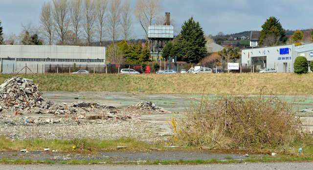
Image: © Albert Bridge Taken: 18 Apr 2013
Part of the site close to the northern side of the Upper Newtownards Road.
Images are licensed for reuse under creativecommons.org/licenses/by-sa/2.0
Image Location
Latitude
54.595466
Longitude
-5.78471