Former "Adamsez", Dundonald
Introduction
The photograph on this page of Former "Adamsez", Dundonald by Albert Bridge as part of the Geograph project.
The Geograph project started in 2005 with the aim of publishing, organising and preserving representative images for every square kilometre of Great Britain, Ireland and the Isle of Man.

There are currently over 7.5m images from over 14,400 individuals and you can help contribute to the project by visiting https://www.geograph.org.uk
Former "Adamsez", Dundonald
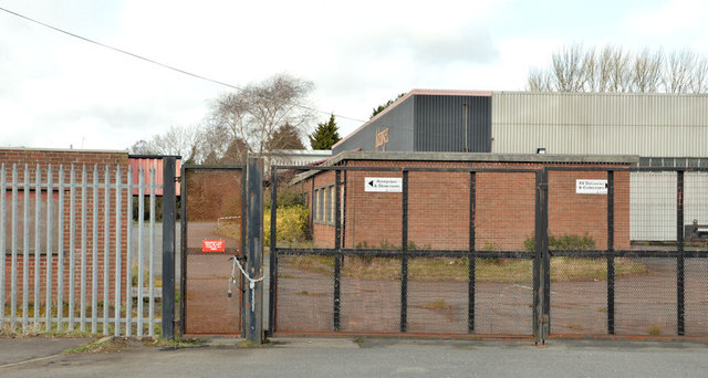
Image: © Albert Bridge Taken: 18 Apr 2013
Now closed and vacant, the former Adamsez (NI) Ltd premises at the corner of the Upper Newtownards Road and Ballyoran Lane (foreground). The grid line cuts through the building.
Images are licensed for reuse under creativecommons.org/licenses/by-sa/2.0
Image Location
Latitude
54.595256
Longitude
-5.787971