Afon Caledffrwd at Pont Brynrefail
Introduction
The photograph on this page of Afon Caledffrwd at Pont Brynrefail by Eric Jones as part of the Geograph project.
The Geograph project started in 2005 with the aim of publishing, organising and preserving representative images for every square kilometre of Great Britain, Ireland and the Isle of Man.

There are currently over 7.5m images from over 14,400 individuals and you can help contribute to the project by visiting https://www.geograph.org.uk
Afon Caledffrwd at Pont Brynrefail
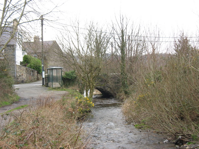
Image: © Eric Jones Taken: 17 Feb 2007
Up to the late 1960s, and the building of a new sewage works for the Deiniolen area, this river used to be a disgusting open sewer. The Caledffrwd flows into Afon Rhythallt.
Images are licensed for reuse under creativecommons.org/licenses/by-sa/2.0
Image Location
Latitude
53.143644
Longitude
-4.154105