Folkestone - Bouverie Road West c1975
Introduction
The photograph on this page of Folkestone - Bouverie Road West c1975 by David Wright as part of the Geograph project.
The Geograph project started in 2005 with the aim of publishing, organising and preserving representative images for every square kilometre of Great Britain, Ireland and the Isle of Man.

There are currently over 7.5m images from over 14,400 individuals and you can help contribute to the project by visiting https://www.geograph.org.uk
Folkestone - Bouverie Road West c1975
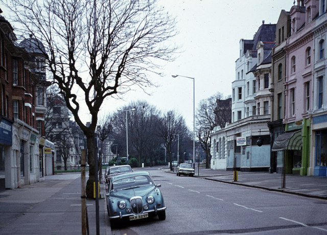
Image: © David Wright Taken: Unknown
Photo taken looking towards Castle Hill Avenue.
Images are licensed for reuse under creativecommons.org/licenses/by-sa/2.0
Image Location
Latitude
51.078169
Longitude
1.172244