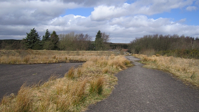
Hardstanding, Greenknowes
Introduction
The photograph on this page of Hardstanding, Greenknowes by Richard Webb as part of the Geograph project.
The Geograph project started in 2005 with the aim of publishing, organising and preserving representative images for every square kilometre of Great Britain, Ireland and the Isle of Man.
There are currently over 7.5m images from over 14,400 individuals and you can help contribute to the project by visiting https://www.geograph.org.uk

Image: © Richard Webb Taken: 15 Apr 2013
Former opencast coal mining site, now reclaimed and wooded. This was once the tree lined driveway towards Lassodie House and the road to the mining village of Lassodie, both now lost to open cast mining. There is a small car park here serving some paths in the young wood. A fascinating area which has seen enormous changes over the last 150 years.

