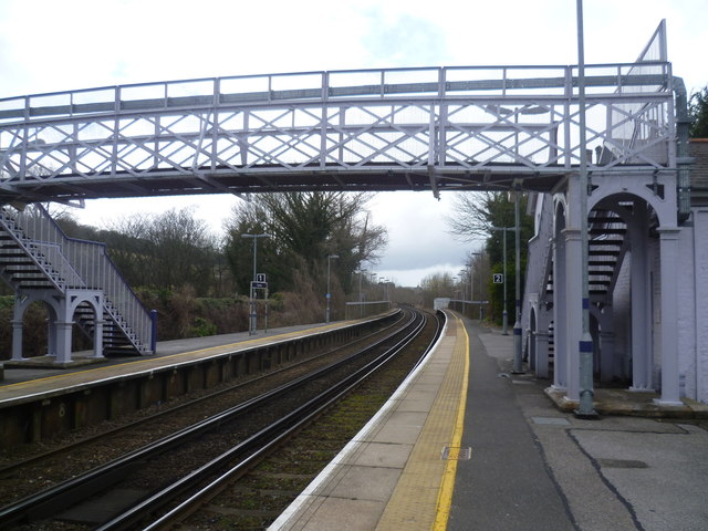
Footbridge at Kearsney station
Introduction
The photograph on this page of Footbridge at Kearsney station by Marathon as part of the Geograph project.
The Geograph project started in 2005 with the aim of publishing, organising and preserving representative images for every square kilometre of Great Britain, Ireland and the Isle of Man.
There are currently over 7.5m images from over 14,400 individuals and you can help contribute to the project by visiting https://www.geograph.org.uk

Image: © Marathon Taken: 12 Apr 2013
The line from Faversham to Canterbury East was opened on 9th July 1860 by the London, Chatham & Dover Railway. On 22nd July 1861 this was extended from Canterbury East to Dover and Kearsney station was opened on 1st August 1862 The station was actually built as the station for Temple Ewell and the parish of River. The community of Kearsney grew around the Railway Bell Hotel which was on the main Dover to London road. The station had a small goods siding, and a siding for passenger trains. The next stop towards the coast was Dover, and there was also a loop that took the railway directly onto the Kent Coast Line line towards Margate, bypassing Dover. In the early days of the railway this meant trains did not always have to make the steep climb out of Dover. In practice the loop was little used for passenger trains, and was mainly used by freight. Latterly the line was used by coal trains to Richborough power station. This view looks towards Canterbury East and London. This line has a number of attractive footbridges of which this is a typical example.

