The Ridings, Frimley
Introduction
The photograph on this page of The Ridings, Frimley by Alan Hunt as part of the Geograph project.
The Geograph project started in 2005 with the aim of publishing, organising and preserving representative images for every square kilometre of Great Britain, Ireland and the Isle of Man.

There are currently over 7.5m images from over 14,400 individuals and you can help contribute to the project by visiting https://www.geograph.org.uk
The Ridings, Frimley
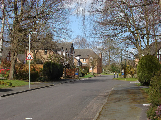
Image: © Alan Hunt Taken: 16 Apr 2013
One of the Frimley Ridge estate roads that date from 1970s.
Images are licensed for reuse under creativecommons.org/licenses/by-sa/2.0
Image Location
Latitude
51.325101
Longitude
-0.713334