Wellington Way bridge
Introduction
The photograph on this page of Wellington Way bridge by Alan Hunt as part of the Geograph project.
The Geograph project started in 2005 with the aim of publishing, organising and preserving representative images for every square kilometre of Great Britain, Ireland and the Isle of Man.

There are currently over 7.5m images from over 14,400 individuals and you can help contribute to the project by visiting https://www.geograph.org.uk
Wellington Way bridge
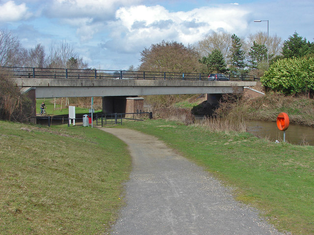
Image: © Alan Hunt Taken: 15 Apr 2013
The bridge carrying Wellington Way over the River Wey and the footpath from the Community Park to the museum. All the roads in the Brooklands estate have aviation related names.
Images are licensed for reuse under creativecommons.org/licenses/by-sa/2.0
Image Location
Latitude
51.348135
Longitude
-0.46786