Auchenibert Lane
Introduction
The photograph on this page of Auchenibert Lane by Raymond Okonski as part of the Geograph project.
The Geograph project started in 2005 with the aim of publishing, organising and preserving representative images for every square kilometre of Great Britain, Ireland and the Isle of Man.

There are currently over 7.5m images from over 14,400 individuals and you can help contribute to the project by visiting https://www.geograph.org.uk
Auchenibert Lane
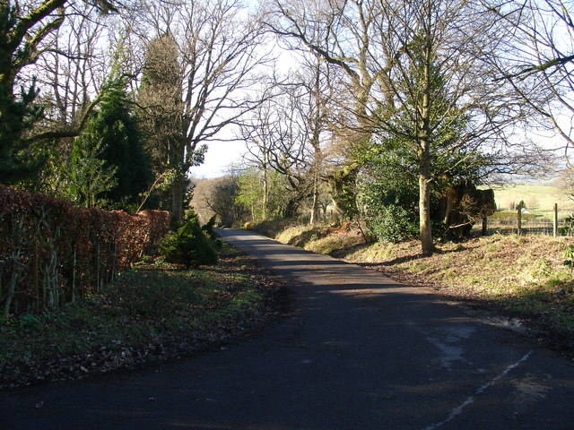
Image: © Raymond Okonski Taken: 18 Feb 2007
Looking northwest
Images are licensed for reuse under creativecommons.org/licenses/by-sa/2.0
Image Location
Latitude
56.043077
Longitude
-4.360891