Muir Toll - Campsie Fells
Introduction
The photograph on this page of Muir Toll - Campsie Fells by Raymond Okonski as part of the Geograph project.
The Geograph project started in 2005 with the aim of publishing, organising and preserving representative images for every square kilometre of Great Britain, Ireland and the Isle of Man.

There are currently over 7.5m images from over 14,400 individuals and you can help contribute to the project by visiting https://www.geograph.org.uk
Muir Toll - Campsie Fells
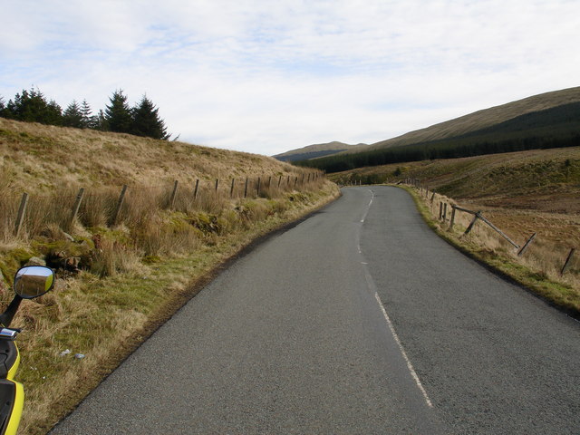
Image: © Raymond Okonski Taken: 18 Feb 2007
The stream that can just be seen within the small indentation to the right of the road is the initial waterhead of the River Carron, which flows to the River Forth near Falkirk
Images are licensed for reuse under creativecommons.org/licenses/by-sa/2.0
Image Location
Latitude
56.013074
Longitude
-4.189639