Burn Treble
Introduction
The photograph on this page of Burn Treble by Anne Burgess as part of the Geograph project.
The Geograph project started in 2005 with the aim of publishing, organising and preserving representative images for every square kilometre of Great Britain, Ireland and the Isle of Man.

There are currently over 7.5m images from over 14,400 individuals and you can help contribute to the project by visiting https://www.geograph.org.uk
Burn Treble
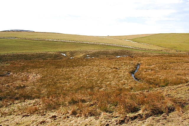
Image: © Anne Burgess Taken: 18 Feb 2007
The burn winds its way through many meanders though this boggy ground near Todholes.
Images are licensed for reuse under creativecommons.org/licenses/by-sa/2.0
Image Location


Leaflet Map data © OpenStreetMap
Latitude
57.381345
Longitude
-3.060433