Noel Street: tramway and road closure
Introduction
The photograph on this page of Noel Street: tramway and road closure by John Sutton as part of the Geograph project.
The Geograph project started in 2005 with the aim of publishing, organising and preserving representative images for every square kilometre of Great Britain, Ireland and the Isle of Man.

There are currently over 7.5m images from over 14,400 individuals and you can help contribute to the project by visiting https://www.geograph.org.uk
Noel Street: tramway and road closure
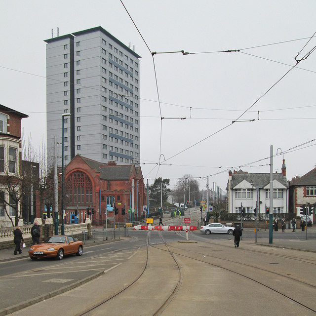
Image: © John Sutton Taken: 11 Apr 2013
The diamond where the north- and southbound lines cross at the junction of Noel Street and Terrace Street was being renewed and a shuttle bus service from The Forest to Wilkinson Street linked the two halves of the NET tramway, on which services from Station Street to The Forest and Wilkinson Street to Hucknall and Phoenix Park services were being operated.
Images are licensed for reuse under creativecommons.org/licenses/by-sa/2.0
Image Location
Latitude
52.965697
Longitude
-1.167679