Headland View over mudflats from Sango Point
Introduction
The photograph on this page of Headland View over mudflats from Sango Point by BB as part of the Geograph project.
The Geograph project started in 2005 with the aim of publishing, organising and preserving representative images for every square kilometre of Great Britain, Ireland and the Isle of Man.

There are currently over 7.5m images from over 14,400 individuals and you can help contribute to the project by visiting https://www.geograph.org.uk
Headland View over mudflats from Sango Point
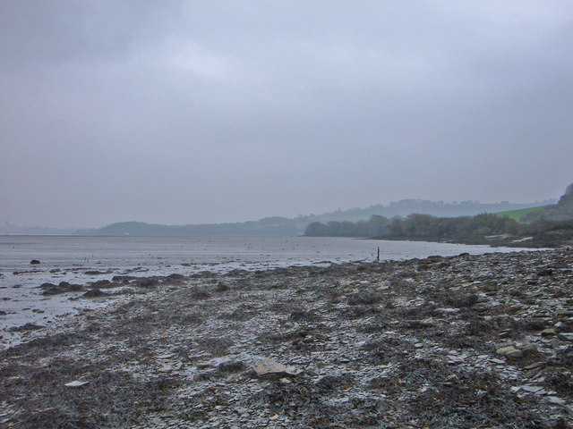
Image: © BB Taken: 18 Feb 2007
The image subject is within grid square SX4353, and the photographer (me) was too. Despite the fact it was an overcast day, you can clearly see the outline of the beach and mudflats that are the main geographical features within this square. A short description relating the image would be that this place is a very deserted and unspoilt landscape separated from and juxtaposed next to the industrial military nature of the dockyard / active firing ranges nearby / urban spread across the water. The image has been altered slightly at the moderators request in lieu of the dark foreground. I will take this pic again on a sunny day for your personal pleasure.
Images are licensed for reuse under creativecommons.org/licenses/by-sa/2.0
Image Location


Leaflet Map data © OpenStreetMap
Latitude
50.359553
Longitude
-4.19705