Footpath off Stoney Ridge Road
Introduction
The photograph on this page of Footpath off Stoney Ridge Road by Humphrey Bolton as part of the Geograph project.
The Geograph project started in 2005 with the aim of publishing, organising and preserving representative images for every square kilometre of Great Britain, Ireland and the Isle of Man.

There are currently over 7.5m images from over 14,400 individuals and you can help contribute to the project by visiting https://www.geograph.org.uk
Footpath off Stoney Ridge Road
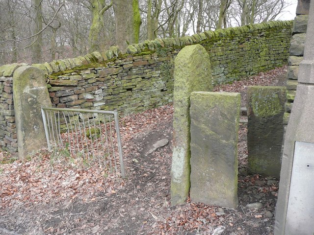
Image: © Humphrey Bolton Taken: 8 Apr 2013
This looks like an old path, but as a right-of-way only goes to a modern housing estate. The OS map does, however, show a path through to Haworth Road via Brantwood Avenue. The path is not shown on the 1850 OS map.
Images are licensed for reuse under creativecommons.org/licenses/by-sa/2.0
Image Location
Latitude
53.820947
Longitude
-1.818138