Plaque on former bandstand in Kidston Park
Introduction
The photograph on this page of Plaque on former bandstand in Kidston Park by Lairich Rig as part of the Geograph project.
The Geograph project started in 2005 with the aim of publishing, organising and preserving representative images for every square kilometre of Great Britain, Ireland and the Isle of Man.

There are currently over 7.5m images from over 14,400 individuals and you can help contribute to the project by visiting https://www.geograph.org.uk
Plaque on former bandstand in Kidston Park
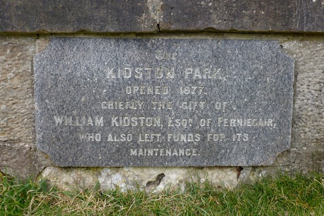
Image: © Lairich Rig Taken: 2 Apr 2013
See Image, Image and Image for views of the former bandstand in context. For more on the Kidstons of Ferniegair, and on the William Kidston who is mentioned in this inscription, see http://www.glasgownecropolis.org/profiles/the-kidston-family/ (at Friends of Glasgow Necropolis); the inscription shown in the present photograph is the one that is mentioned in that article's discussion of Kidston Park.
Images are licensed for reuse under creativecommons.org/licenses/by-sa/2.0
Image Location
Latitude
56.008249
Longitude
-4.76112