Wayside pond on the Auckland Way
Introduction
The photograph on this page of Wayside pond on the Auckland Way by Oliver Dixon as part of the Geograph project.
The Geograph project started in 2005 with the aim of publishing, organising and preserving representative images for every square kilometre of Great Britain, Ireland and the Isle of Man.

There are currently over 7.5m images from over 14,400 individuals and you can help contribute to the project by visiting https://www.geograph.org.uk
Wayside pond on the Auckland Way
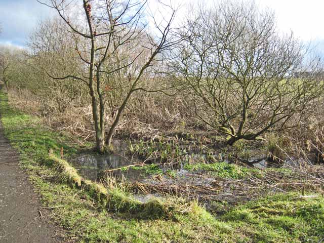
Image: © Oliver Dixon Taken: 18 Feb 2007
The Clarence Railway opened 1837, ran between Spennymoor and Bishop Auckland. The trackbed has now been converted into the Auckland Way http://www.cobr.co.uk/e-cobr_information/cycling_initiatives/sections/rail_trails/auckland_way/text.shtml , an attractive path for walkers and cyclists. To assist drainage, a number of channels and ponds have been excavated alongside the path.
Images are licensed for reuse under creativecommons.org/licenses/by-sa/2.0
Image Location


Leaflet Map data © OpenStreetMap
Latitude
54.696699
Longitude
-1.633183