Track to Low Gartachorrans
Introduction
The photograph on this page of Track to Low Gartachorrans by Lairich Rig as part of the Geograph project.
The Geograph project started in 2005 with the aim of publishing, organising and preserving representative images for every square kilometre of Great Britain, Ireland and the Isle of Man.

There are currently over 7.5m images from over 14,400 individuals and you can help contribute to the project by visiting https://www.geograph.org.uk
Track to Low Gartachorrans
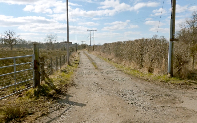
Image: © Lairich Rig Taken: 1 Apr 2013
The viewpoint is just a few metres to the south-east of the point from which a picture of the Image was taken. This first part of the farm track runs parallel to the dismantled line.
Images are licensed for reuse under creativecommons.org/licenses/by-sa/2.0
Image Location
Latitude
56.042605
Longitude
-4.45415