Donnington Wood Canal
Introduction
The photograph on this page of Donnington Wood Canal by Roger Dean as part of the Geograph project.
The Geograph project started in 2005 with the aim of publishing, organising and preserving representative images for every square kilometre of Great Britain, Ireland and the Isle of Man.

There are currently over 7.5m images from over 14,400 individuals and you can help contribute to the project by visiting https://www.geograph.org.uk
Donnington Wood Canal
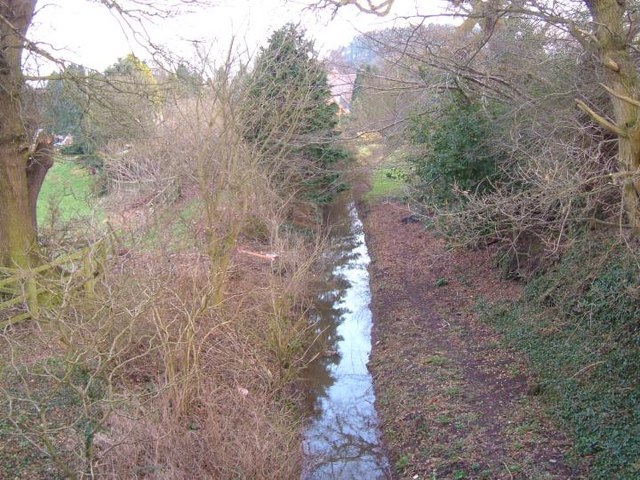
Image: © Roger Dean Taken: 18 Feb 2007
This watercourse was once the Donnington Wood canal. It was the first canal to be built in Shropshire. Built between 1765 and 1767, it ran from the mines and iron works of Donnington Wood to the terminus at Pave Lane. The terminus was on the main route from Liverpool to London, now the A41.
Images are licensed for reuse under creativecommons.org/licenses/by-sa/2.0
Image Location


Leaflet Map data © OpenStreetMap
Latitude
52.744487
Longitude
-2.363027