Road past Upper Gate Plantation
Introduction
The photograph on this page of Road past Upper Gate Plantation by Philip Halling as part of the Geograph project.
The Geograph project started in 2005 with the aim of publishing, organising and preserving representative images for every square kilometre of Great Britain, Ireland and the Isle of Man.

There are currently over 7.5m images from over 14,400 individuals and you can help contribute to the project by visiting https://www.geograph.org.uk
Road past Upper Gate Plantation
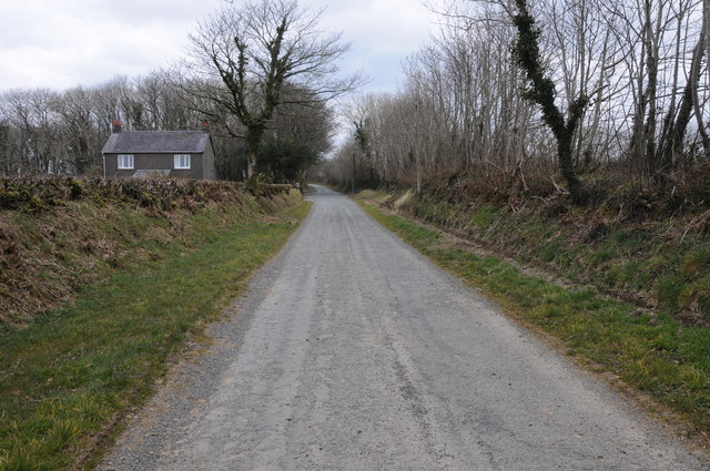
Image: © Philip Halling Taken: 7 Apr 2013
Country road past a cottage and Upper Gate Plantation near New Moat.
Images are licensed for reuse under creativecommons.org/licenses/by-sa/2.0
Image Location
Latitude
51.891064
Longitude
-4.80511