Directions on the pavement alongside Whitehill Way, Swindon
Introduction
The photograph on this page of Directions on the pavement alongside Whitehill Way, Swindon by Jaggery as part of the Geograph project.
The Geograph project started in 2005 with the aim of publishing, organising and preserving representative images for every square kilometre of Great Britain, Ireland and the Isle of Man.

There are currently over 7.5m images from over 14,400 individuals and you can help contribute to the project by visiting https://www.geograph.org.uk
Directions on the pavement alongside Whitehill Way, Swindon
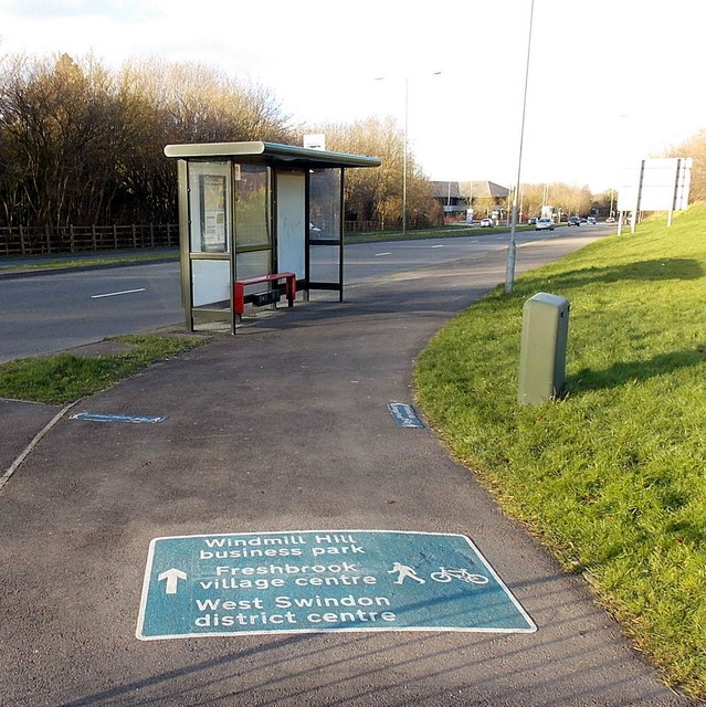
Image: © Jaggery Taken: 2 Feb 2013
The directions for walkers and cyclists are at the southern end of the B4534 Whitehill Way, near the Great Western Way junction.
Images are licensed for reuse under creativecommons.org/licenses/by-sa/2.0
Image Location
Latitude
51.547949
Longitude
-1.843913