Blocked Road To Monkton
Introduction
The photograph on this page of Blocked Road To Monkton by David Mastin as part of the Geograph project.
The Geograph project started in 2005 with the aim of publishing, organising and preserving representative images for every square kilometre of Great Britain, Ireland and the Isle of Man.

There are currently over 7.5m images from over 14,400 individuals and you can help contribute to the project by visiting https://www.geograph.org.uk
Blocked Road To Monkton
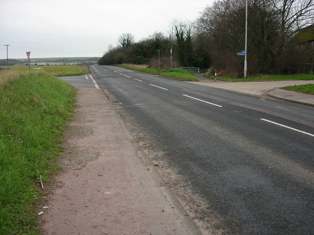
Image: © David Mastin Taken: 18 Feb 2007
The road beyond the metal gate on the opposite side of the main road leads into the village of Monkton. Before the gate was fitted, it was possible for vehicles to leave and enter Monkton via this junction with the A253. These vehicles must now use the alternative road to the village from the A299. There is still sufficient space for cyclists and walkers to access this road.
Images are licensed for reuse under creativecommons.org/licenses/by-sa/2.0
Image Location
Latitude
51.341385
Longitude
1.269384