Sandringham Avenue
Introduction
The photograph on this page of Sandringham Avenue by John Sutton as part of the Geograph project.
The Geograph project started in 2005 with the aim of publishing, organising and preserving representative images for every square kilometre of Great Britain, Ireland and the Isle of Man.

There are currently over 7.5m images from over 14,400 individuals and you can help contribute to the project by visiting https://www.geograph.org.uk
Sandringham Avenue
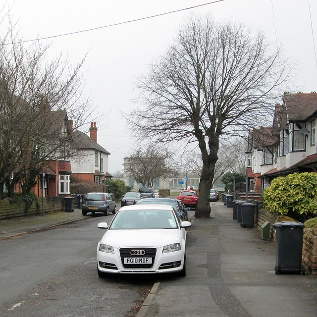
Image: © John Sutton Taken: 12 Apr 2013
One of three culs-de-sac between Loughborough Road and the right bank of the Trent. The City of Nottingham War Memorial is in the background, on the other side of the river.
Images are licensed for reuse under creativecommons.org/licenses/by-sa/2.0
Image Location
Latitude
52.934289
Longitude
-1.137632