Shottendane Road, Margate
Introduction
The photograph on this page of Shottendane Road, Margate by David Mastin as part of the Geograph project.
The Geograph project started in 2005 with the aim of publishing, organising and preserving representative images for every square kilometre of Great Britain, Ireland and the Isle of Man.

There are currently over 7.5m images from over 14,400 individuals and you can help contribute to the project by visiting https://www.geograph.org.uk
Shottendane Road, Margate
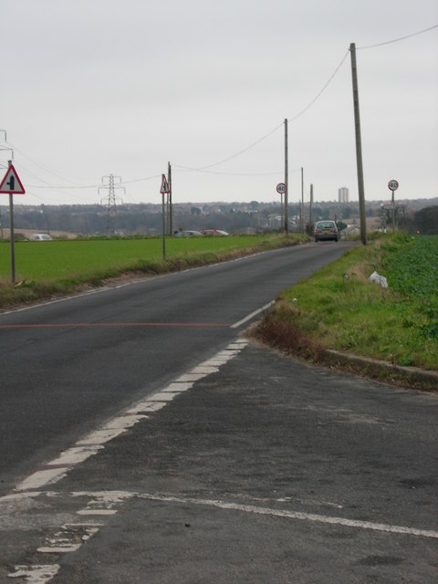
Image: © David Mastin Taken: 18 Feb 2007
This is a view taken at the junction of Shottendane Road and Woodchurch Road. looking along Shottendane Road towards Margate. The road in the middle distance on the left is the High Street, Garlinge. The tower block in the far distance is Arlington House, which is outside this square and close to Margate seafront.
Images are licensed for reuse under creativecommons.org/licenses/by-sa/2.0
Image Location
Latitude
51.371197
Longitude
1.353855