Shale Wood
Introduction
The photograph on this page of Shale Wood by Carroll Pierce as part of the Geograph project.
The Geograph project started in 2005 with the aim of publishing, organising and preserving representative images for every square kilometre of Great Britain, Ireland and the Isle of Man.

There are currently over 7.5m images from over 14,400 individuals and you can help contribute to the project by visiting https://www.geograph.org.uk
Shale Wood
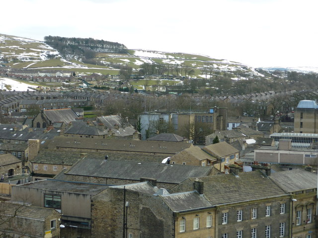
Image: © Carroll Pierce Taken: 1 Apr 2013
Taken from the top of Holy Trinity Church steeple, this terraced view of Skipton extends to Shale Plantation with Skipton Moor lying beyond.
Images are licensed for reuse under creativecommons.org/licenses/by-sa/2.0
Image Location
Latitude
53.959407
Longitude
-2.00225