Main Building, Former Saint David's Mental Hospital
Introduction
The photograph on this page of Main Building, Former Saint David's Mental Hospital by Nigel Davies as part of the Geograph project.
The Geograph project started in 2005 with the aim of publishing, organising and preserving representative images for every square kilometre of Great Britain, Ireland and the Isle of Man.

There are currently over 7.5m images from over 14,400 individuals and you can help contribute to the project by visiting https://www.geograph.org.uk
Main Building, Former Saint David's Mental Hospital
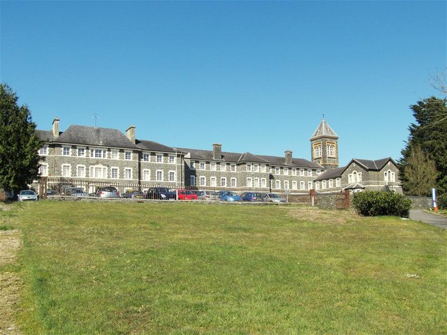
Image: © Nigel Davies Taken: 3 Apr 2013
Now offices for the County Council & NHS and an outpost of Swansea University's medical faculties.
Images are licensed for reuse under creativecommons.org/licenses/by-sa/2.0
Image Location
Latitude
51.856974
Longitude
-4.331997