The A5358 main route into Handforth
Introduction
The photograph on this page of The A5358 main route into Handforth by Terry Walsh as part of the Geograph project.
The Geograph project started in 2005 with the aim of publishing, organising and preserving representative images for every square kilometre of Great Britain, Ireland and the Isle of Man.

There are currently over 7.5m images from over 14,400 individuals and you can help contribute to the project by visiting https://www.geograph.org.uk
The A5358 main route into Handforth
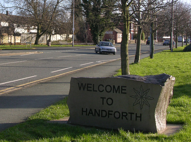
Image: © Terry Walsh Taken: 11 Feb 2007
The recently positioned welcome sign forms a part of the Handforth village centre improvement works completed over 2006
Images are licensed for reuse under creativecommons.org/licenses/by-sa/2.0
Image Location
Latitude
53.351787
Longitude
-2.217791