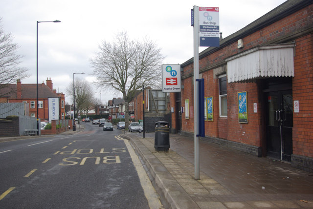
Acocks Green Station
Introduction
The photograph on this page of Acocks Green Station by Stephen McKay as part of the Geograph project.
The Geograph project started in 2005 with the aim of publishing, organising and preserving representative images for every square kilometre of Great Britain, Ireland and the Isle of Man.
There are currently over 7.5m images from over 14,400 individuals and you can help contribute to the project by visiting https://www.geograph.org.uk

Image: © Stephen McKay Taken: 13 Apr 2013
Acocks Green station was opened on the Great Western Railway's main line in 1852 in what must then have been a very rural area. The suburb has since developed as a mixed area, a buffer between inner city Sparkbrook and leafy Solihull. Today the station, whose entrance on Sherbourne Road is seen here, has a frequent service of trains running from Snow Hill and Moor Street. The bus stop is served by buses on Birmingham's outer circle no 11 route (the 'c' suffix indicating that this is in the clockwise direction), claimed to be the longest urban bus route in Europe at 27 miles.

