Former Desborough & Rothwell station
Introduction
The photograph on this page of Former Desborough & Rothwell station by Ben Brooksbank as part of the Geograph project.
The Geograph project started in 2005 with the aim of publishing, organising and preserving representative images for every square kilometre of Great Britain, Ireland and the Isle of Man.

There are currently over 7.5m images from over 14,400 individuals and you can help contribute to the project by visiting https://www.geograph.org.uk
Former Desborough & Rothwell station
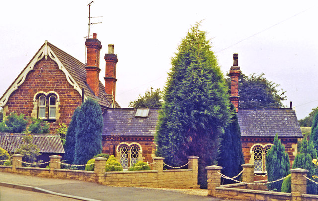
Image: © Ben Brooksbank Taken: 25 Aug 1993
View northward, the railway line being the other side of the buildings: ex-Midland Main Line, London St Pancras - Leicester and the North. The station was closed 1/1/68.
Images are licensed for reuse under creativecommons.org/licenses/by-sa/2.0
Image Location


Leaflet Map data © OpenStreetMap
Latitude
52.444016
Longitude
-0.819142