Aerial view of crossroads of A487 and B4333 near Tan-Y-Groes.
Introduction
The photograph on this page of Aerial view of crossroads of A487 and B4333 near Tan-Y-Groes. by Kevin Woolterton as part of the Geograph project.
The Geograph project started in 2005 with the aim of publishing, organising and preserving representative images for every square kilometre of Great Britain, Ireland and the Isle of Man.

There are currently over 7.5m images from over 14,400 individuals and you can help contribute to the project by visiting https://www.geograph.org.uk
Aerial view of crossroads of A487 and B4333 near Tan-Y-Groes.
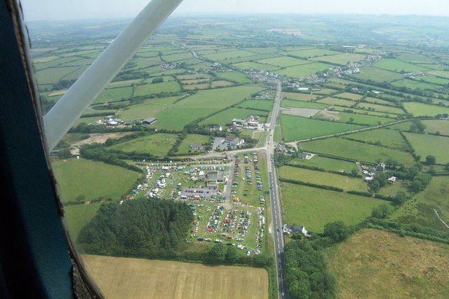
Image: © Kevin Woolterton Taken: 1 Jul 2006
Aerial view of crossroads A487 and B4333 near Tan-Y-Groes. A boot fair in progress at the Gogerddan Arms.
Images are licensed for reuse under creativecommons.org/licenses/by-sa/2.0
Image Location
Latitude
52.114266
Longitude
-4.514842