The Thames at Gravesend
Introduction
The photograph on this page of The Thames at Gravesend by Danny P Robinson as part of the Geograph project.
The Geograph project started in 2005 with the aim of publishing, organising and preserving representative images for every square kilometre of Great Britain, Ireland and the Isle of Man.

There are currently over 7.5m images from over 14,400 individuals and you can help contribute to the project by visiting https://www.geograph.org.uk
The Thames at Gravesend
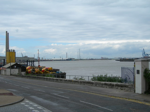
Image: © Danny P Robinson Taken: 29 May 2006
Junction of The Shore and Pier Road, Rosherville. This picture shows the very industrial land use here. Because so much industry occupies the river frontages it is often not possible to walk following a river footpath here.
Images are licensed for reuse under creativecommons.org/licenses/by-sa/2.0
Image Location
Latitude
51.44589
Longitude
0.351378