Causeway End
Introduction
The photograph on this page of Causeway End by David Smith as part of the Geograph project.
The Geograph project started in 2005 with the aim of publishing, organising and preserving representative images for every square kilometre of Great Britain, Ireland and the Isle of Man.

There are currently over 7.5m images from over 14,400 individuals and you can help contribute to the project by visiting https://www.geograph.org.uk
Causeway End
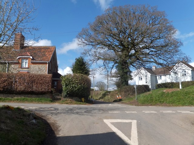
Image: © David Smith Taken: 12 Apr 2013
A cluster of houses and farm buildings around the crossroads. The houses on the right are set at 45degrees to the road. Perhaps they were built after the tree had become established, and an alternative layout would have affected the tree?
Images are licensed for reuse under creativecommons.org/licenses/by-sa/2.0
Image Location
Latitude
50.835699
Longitude
-3.288397