The Star Inn, Standon
Introduction
The photograph on this page of The Star Inn, Standon by Eirian Evans as part of the Geograph project.
The Geograph project started in 2005 with the aim of publishing, organising and preserving representative images for every square kilometre of Great Britain, Ireland and the Isle of Man.

There are currently over 7.5m images from over 14,400 individuals and you can help contribute to the project by visiting https://www.geograph.org.uk
The Star Inn, Standon
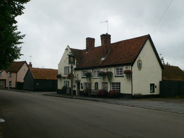
Image: © Eirian Evans Taken: 18 Jul 2012
This inn dates from the 17th century and is Grade II listed. It is on the High Street in Standon.
Images are licensed for reuse under creativecommons.org/licenses/by-sa/2.0
Image Location
Latitude
51.881524
Longitude
0.026772