Crossroads at Stibb Cross
Introduction
The photograph on this page of Crossroads at Stibb Cross by John Baker as part of the Geograph project.
The Geograph project started in 2005 with the aim of publishing, organising and preserving representative images for every square kilometre of Great Britain, Ireland and the Isle of Man.

There are currently over 7.5m images from over 14,400 individuals and you can help contribute to the project by visiting https://www.geograph.org.uk
Crossroads at Stibb Cross
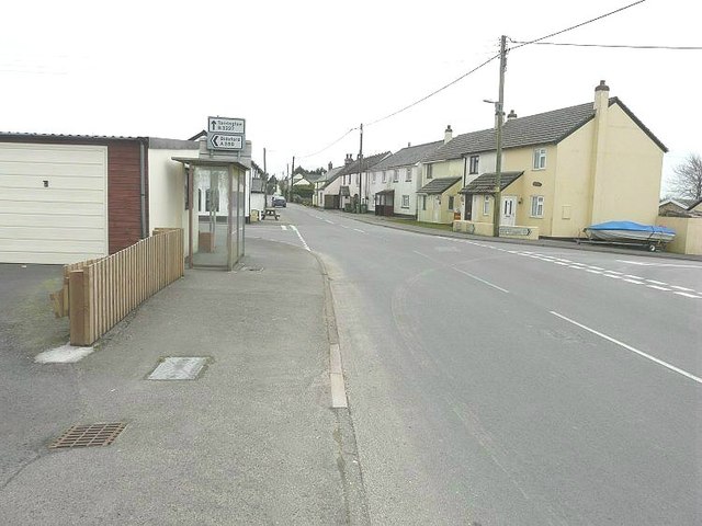
Image: © John Baker Taken: 25 Mar 2013
Great Torrington is straight on along the B3227. Bideford is left along the A388 while the road to the right would take you to Battledown Cross in square Image
Images are licensed for reuse under creativecommons.org/licenses/by-sa/2.0
Image Location


Leaflet Map data © OpenStreetMap
Latitude
50.91248
Longitude
-4.236508