M62 bridge, Ainley Top
Introduction
The photograph on this page of M62 bridge, Ainley Top by Mark Anderson as part of the Geograph project.
The Geograph project started in 2005 with the aim of publishing, organising and preserving representative images for every square kilometre of Great Britain, Ireland and the Isle of Man.

There are currently over 7.5m images from over 14,400 individuals and you can help contribute to the project by visiting https://www.geograph.org.uk
M62 bridge, Ainley Top
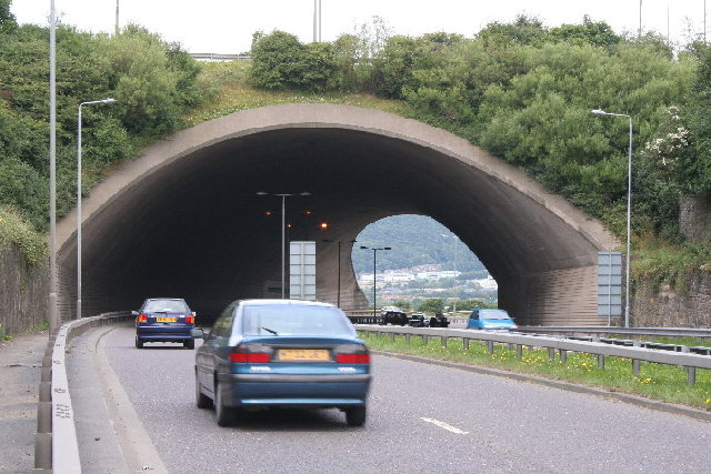
Image: © Mark Anderson Taken: 6 Aug 2005
Looking N. The road bends to the right which gives the illusion of there being no road at all on the other side! Elland is in the valley beyond.
Images are licensed for reuse under creativecommons.org/licenses/by-sa/2.0
Image Location


Leaflet Map data © OpenStreetMap
Latitude
53.67275
Longitude
-1.828917