Underpass to cycle route 46, Pentwyn, Abersychan
Introduction
The photograph on this page of Underpass to cycle route 46, Pentwyn, Abersychan by Jaggery as part of the Geograph project.
The Geograph project started in 2005 with the aim of publishing, organising and preserving representative images for every square kilometre of Great Britain, Ireland and the Isle of Man.

There are currently over 7.5m images from over 14,400 individuals and you can help contribute to the project by visiting https://www.geograph.org.uk
Underpass to cycle route 46, Pentwyn, Abersychan
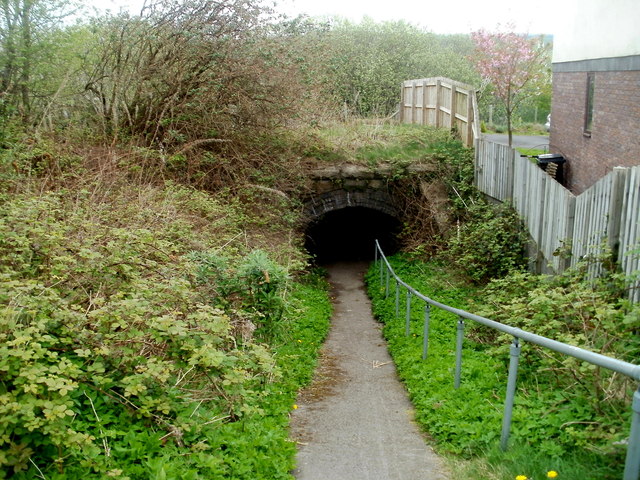
Image: © Jaggery Taken: 16 Apr 2011
The path connects Pentwyn Road on the camera side with National Cycle Network route 46 on the far side of the underpass. The underpass used to be beneath a railway line.
Images are licensed for reuse under creativecommons.org/licenses/by-sa/2.0
Image Location
Latitude
51.723051
Longitude
-3.064745