River Ebbw downstream from Danygraig Road bridge, Risca
Introduction
The photograph on this page of River Ebbw downstream from Danygraig Road bridge, Risca by Jaggery as part of the Geograph project.
The Geograph project started in 2005 with the aim of publishing, organising and preserving representative images for every square kilometre of Great Britain, Ireland and the Isle of Man.

There are currently over 7.5m images from over 14,400 individuals and you can help contribute to the project by visiting https://www.geograph.org.uk
River Ebbw downstream from Danygraig Road bridge, Risca
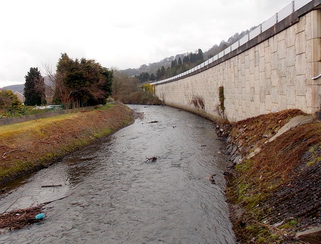
Image: © Jaggery Taken: 11 Apr 2013
Viewed from the river bridge seen here. http://www.geograph.org.uk/photo/3408902 The structure carrying the A467 is on the right.
Images are licensed for reuse under creativecommons.org/licenses/by-sa/2.0
Image Location


Leaflet Map data © OpenStreetMap
Latitude
51.607236
Longitude
-3.104055