A617 approaching Chesterfield
Introduction
The photograph on this page of A617 approaching Chesterfield by Trevor Rickard as part of the Geograph project.
The Geograph project started in 2005 with the aim of publishing, organising and preserving representative images for every square kilometre of Great Britain, Ireland and the Isle of Man.

There are currently over 7.5m images from over 14,400 individuals and you can help contribute to the project by visiting https://www.geograph.org.uk
A617 approaching Chesterfield
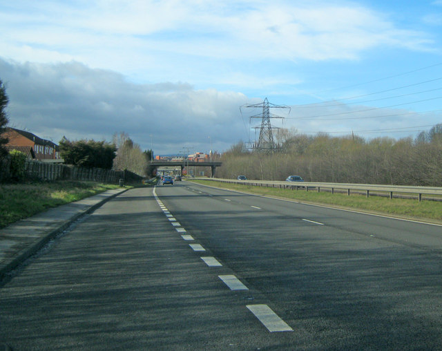
Image: © Trevor Rickard Taken: 26 Feb 2011
From a long lay-by looking north-west down the hill towards the town centre behind the St Leonards Drive bridge.
Images are licensed for reuse under creativecommons.org/licenses/by-sa/2.0
Image Location
Latitude
53.227039
Longitude
-1.413376