Embankment of reservoir
Introduction
The photograph on this page of Embankment of reservoir by Bikeboy as part of the Geograph project.
The Geograph project started in 2005 with the aim of publishing, organising and preserving representative images for every square kilometre of Great Britain, Ireland and the Isle of Man.

There are currently over 7.5m images from over 14,400 individuals and you can help contribute to the project by visiting https://www.geograph.org.uk
Embankment of reservoir
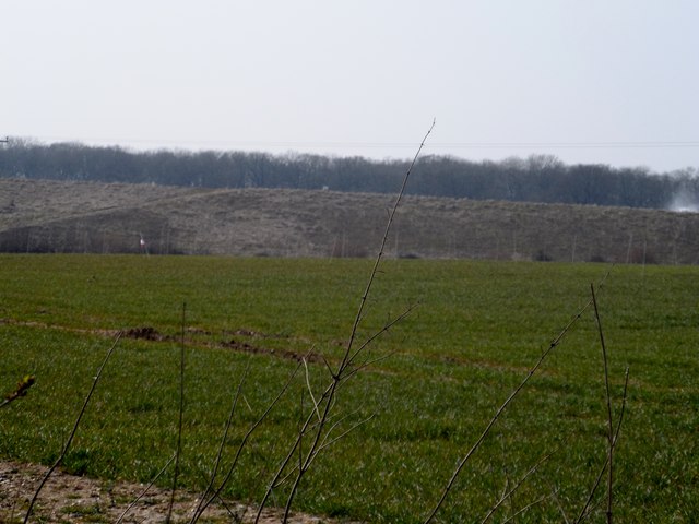
Image: © Bikeboy Taken: 10 Apr 2013
This reservoir is not marked on OS 1:25000 maps but is on smaller scale maps. It is clearly visible in Google "sat" pictures. The small sign in the middle of the picture reads "Danger-Deep Water" See http://www.geograph.org.uk/photo/3408561 There was a small controlled fire at this time right of picture".
Images are licensed for reuse under creativecommons.org/licenses/by-sa/2.0
Image Location
Latitude
52.349881
Longitude
0.825072