Upper End Farm House, Town Street, Guiseley
Introduction
The photograph on this page of Upper End Farm House, Town Street, Guiseley by Humphrey Bolton as part of the Geograph project.
The Geograph project started in 2005 with the aim of publishing, organising and preserving representative images for every square kilometre of Great Britain, Ireland and the Isle of Man.

There are currently over 7.5m images from over 14,400 individuals and you can help contribute to the project by visiting https://www.geograph.org.uk
Upper End Farm House, Town Street, Guiseley
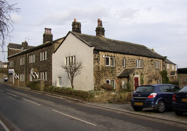
Image: © Humphrey Bolton Taken: 15 Feb 2007
Another of the farmhouses in the row of tofts along the eastern side of Town Street.
Images are licensed for reuse under creativecommons.org/licenses/by-sa/2.0
Image Location


Leaflet Map data © OpenStreetMap
Latitude
53.87744
Longitude
-1.7064