Stepped Snicket above Firth Park Road
Introduction
The photograph on this page of Stepped Snicket above Firth Park Road by Jonathan Clitheroe as part of the Geograph project.
The Geograph project started in 2005 with the aim of publishing, organising and preserving representative images for every square kilometre of Great Britain, Ireland and the Isle of Man.

There are currently over 7.5m images from over 14,400 individuals and you can help contribute to the project by visiting https://www.geograph.org.uk
Stepped Snicket above Firth Park Road
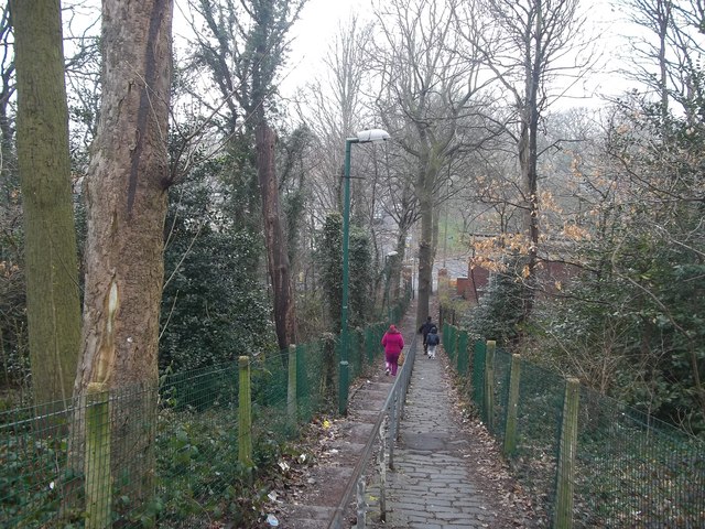
Image: © Jonathan Clitheroe Taken: 12 Apr 2013
An older paved path is also in use here. The trees are a surviving fragment of Wincobank Wood.
Images are licensed for reuse under creativecommons.org/licenses/by-sa/2.0
Image Location
Latitude
53.412625
Longitude
-1.444075