Remains of field boundary
Introduction
The photograph on this page of Remains of field boundary by Lairich Rig as part of the Geograph project.
The Geograph project started in 2005 with the aim of publishing, organising and preserving representative images for every square kilometre of Great Britain, Ireland and the Isle of Man.

There are currently over 7.5m images from over 14,400 individuals and you can help contribute to the project by visiting https://www.geograph.org.uk
Remains of field boundary
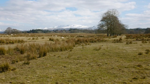
Image: © Lairich Rig Taken: 1 Apr 2013
The picture was taken from Old School Road. The line of trees is the most obvious sign of the former boundary, but its course is also indicated by the line of taller vegetation heading towards the lower left corner of the picture. The snow-covered Campsie Hills form the background.
Images are licensed for reuse under creativecommons.org/licenses/by-sa/2.0
Image Location
Latitude
56.037378
Longitude
-4.486248