Junction of Mapperley Road and Redcliffe Road
Introduction
The photograph on this page of Junction of Mapperley Road and Redcliffe Road by Roger Templeman as part of the Geograph project.
The Geograph project started in 2005 with the aim of publishing, organising and preserving representative images for every square kilometre of Great Britain, Ireland and the Isle of Man.

There are currently over 7.5m images from over 14,400 individuals and you can help contribute to the project by visiting https://www.geograph.org.uk
Junction of Mapperley Road and Redcliffe Road
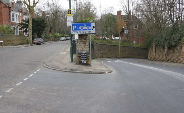
Image: © Roger Templeman Taken: 1 Apr 2013
There is a cast iron parliamentary boundary marker with an 1869 date on the front of the junction wall pier. There is an OS benchmark Image on the back of this pier on the Redcliffe Road (right) side of the wall.
Images are licensed for reuse under creativecommons.org/licenses/by-sa/2.0
Image Location
Latitude
52.968952
Longitude
-1.144983