Site of former Dearham station
Introduction
The photograph on this page of Site of former Dearham station by Ben Brooksbank as part of the Geograph project.
The Geograph project started in 2005 with the aim of publishing, organising and preserving representative images for every square kilometre of Great Britain, Ireland and the Isle of Man.

There are currently over 7.5m images from over 14,400 individuals and you can help contribute to the project by visiting https://www.geograph.org.uk
Site of former Dearham station
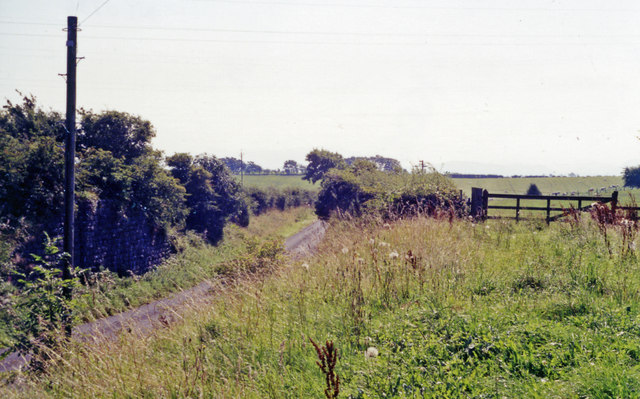
Image: © Ben Brooksbank Taken: 1 Sep 1991
View southward, towards Brigham: ex-Maryport & Carlisle Bullgill - Brigham branch, closed 29/4/35; one of the honeycomb of superfluous lines that criscrossed West Cumberland in the early part of the 20th century.
Images are licensed for reuse under creativecommons.org/licenses/by-sa/2.0
Image Location
Latitude
54.707231
Longitude
-3.430598