Hadrian Street
Introduction
The photograph on this page of Hadrian Street by Stephen Craven as part of the Geograph project.
The Geograph project started in 2005 with the aim of publishing, organising and preserving representative images for every square kilometre of Great Britain, Ireland and the Isle of Man.

There are currently over 7.5m images from over 14,400 individuals and you can help contribute to the project by visiting https://www.geograph.org.uk
Hadrian Street
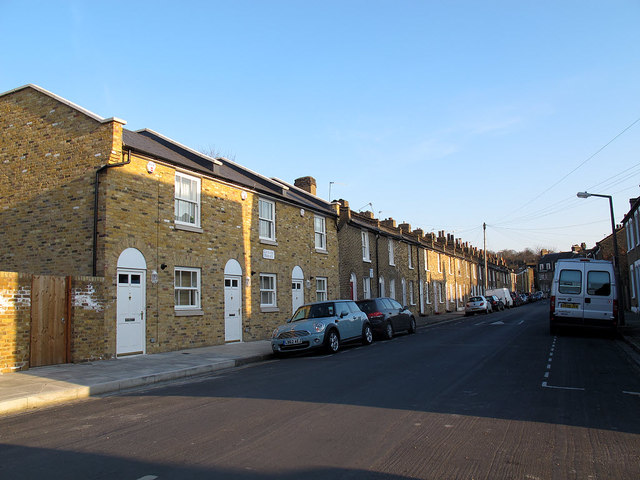
Image: © Stephen Craven Taken: 6 Apr 2013
Most of the housing is terraced, late 19th century and typical of this area of East Greenwich. The two houses nearest the camera, named Cleveland Terrace, are more recent although the detailing including the sash windows and doorways has been made to match the older properties.
Images are licensed for reuse under creativecommons.org/licenses/by-sa/2.0
Image Location
Latitude
51.485989
Longitude
0.003278