The Westbury Brook
Introduction
The photograph on this page of The Westbury Brook by Richard Law as part of the Geograph project.
The Geograph project started in 2005 with the aim of publishing, organising and preserving representative images for every square kilometre of Great Britain, Ireland and the Isle of Man.

There are currently over 7.5m images from over 14,400 individuals and you can help contribute to the project by visiting https://www.geograph.org.uk
The Westbury Brook
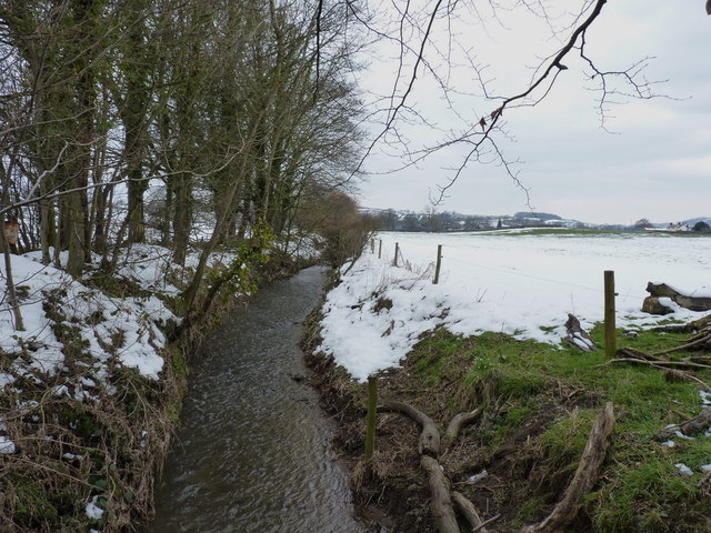
Image: © Richard Law Taken: 1 Apr 2013
The stream rises about 3 miles west of here on the eastern slopes of the Causemountain, and flows down to join the Rea Brook on its way into Shrewsbury.
Images are licensed for reuse under creativecommons.org/licenses/by-sa/2.0
Image Location


Leaflet Map data © OpenStreetMap
Latitude
52.677799
Longitude
-2.968305