Power lines near Newhouse
Introduction
The photograph on this page of Power lines near Newhouse by Richard Webb as part of the Geograph project.
The Geograph project started in 2005 with the aim of publishing, organising and preserving representative images for every square kilometre of Great Britain, Ireland and the Isle of Man.

There are currently over 7.5m images from over 14,400 individuals and you can help contribute to the project by visiting https://www.geograph.org.uk
Power lines near Newhouse
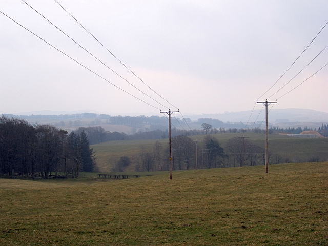
Image: © Richard Webb Taken: 10 Apr 2013
Even though these are on poles, the power lines make the 1:25,000 Ordnance Survey map.
Images are licensed for reuse under creativecommons.org/licenses/by-sa/2.0
Image Location
Latitude
55.663574
Longitude
-3.801851